Adding a BtGPS device to your "mobile" kit will cost around $100 and will be connected to your Symbian Series 60 with Bluetooth features in a few minutes. Then if your smartphone includes a "data plan" that provides you mobile Internet access, well, from that moment on and depending how you adapt to yet another blinking light and its battery hassles, you can:
- find where you are,
- locate where someone else is,
- review where you have been,
- calculate the best way of getting where you want to go, and
- recall places or faces of interest you have found or want to find.
- plus WiFi hotspot radar?
ALL with a geotagging positional tolerance of a only a meter or three.
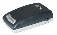
While there are many BtGPS devices, a MidNight recommendation would include "SiRF" and its chipset SiRFstarIII. These 20-channel, WAAS capable, and massively correlated devices can deliver a 2 meter CEP in low PDOP conditions. Bluetooth positional error of dilution is no greater than 10 meters most conditions. Main differentiations will be blink-blink, battery size, and stuff like TTFF CS and WS. I prefer RoyalTek RBT-2001 due to its smarter and compact implementation, TTFF CS, TTFF WS, and battery selection (identical to most Nokia handsets - 0.700 amp/hr). The RoyalTek's use of an easily-had NiCad battery offers an alternate charging path for the same battery form (12-15v cigarette plug step-down to 5-volt PDA/PND plug-end) which has rescued dead and dieing mobiles too many times to be dismissed.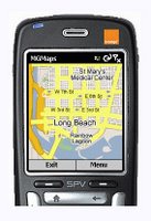 Once you have the BtGPS figured out, I am encouraging you to immediately download a copy of the MGmaps. It is a very excellent personal navigation device application for your Symbian 60 smartphone. Its a get your map anywhere/anytime via downloading Google Map streets and satelite images via the Google Mobile design.
You can also render the Nokia/Symbian application on your PC just to see it do its thing. You'll need to first check your JAVA and then likely download a JAVA set from the page below...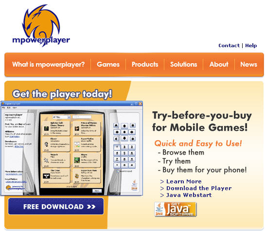
And you can share KMLs TOO!


No comments:
Post a Comment